
Walk a Seminole County Street
The best street-by-street method begins with the parcel, then moves outward. The Seminole County Property Appraiser accepts an owner, parcel number, street name, address, facility name, or subdivision name in one search box. Its parcel card can show the situs, owner mailing address, parcel or APPR ID, legal description, plat, tax district, land use, exemptions, sales references, building data, sketch, and a GIS link. Those fields form the base of a Seminole County street directory search.
Ownership and occupancy are not the same. Homestead status may support owner occupancy, but it cannot identify every member of a household. Follow a consistent chain and record each source beside the date viewed:
- Enter the full address or street name in the Property Appraiser search and open the matching parcel card.
- Open the Public Appraisal Map, zoom to the same block, and click adjoining parcel polygons.
- Carry the deed reference and legal description to the Clerk’s Official Records index.
- Add permits, lawful voter data, and a historical street section only when those records fit the question.
- Compare dates and spelling before treating two names or addresses as the same place.
Seminole County Street Search Fields
The Property Appraiser keeps the first search broad. One optional field can accept several kinds of input, so a partial street name may find parcels even when a house number is uncertain. Search and Reset controls make it easy to test a variant. Daily downloadable data are free in Excel, Access, and GIS formats. A custom filtered request can take ten business days and may carry labor charges, so the regular portal is the practical first stop for most address work.
| Search input | What to enter | Best use |
|---|---|---|
| Owner | Person or entity name | Find parcels tied to a known owner |
| Parcel number | Parcel or APPR ID | Return to one exact parcel |
| Street name | Name without one house number | Browse a named street |
| Address | Full situs address | Open one parcel |
| Facility or subdivision | Named site or subdivision | Group related parcels |
Maintenance can affect timing. The appraisal site lists a Wednesday evening window, and its GIS and other data refresh at several points each day. A short outage or changed value may reflect routine updates rather than a missing record.
Map Seminole County Street Parcels
The appraisal GIS turns a single result into a block view. Its global field accepts an address, parcel, owner, or subdivision. After zooming to the street, click neighboring polygons and follow each popup to the parcel detail. CurrentView queries can return parcels, buildings, or sales visible on screen. CountyWide queries do the same across Seminole County. No public buffer-owner tool was documented, so the reliable method is to click each nearby parcel and keep a short worksheet.
Useful county layers include address points, streets, parcels, lot lines, subdivisions, vacant streets, flood areas, election and school districts, city limits, homeowners-association geography, utilities, wetlands, and ZIP or PO-box ZIP areas. The county zoning layer covers unincorporated land. A parcel inside a city needs that city’s zoning source. This geography matters because a mailing city, postal area, municipality, and tax district can differ in Seminole County.
- Parcel
- A mapped unit of land with its own appraisal identifier.
- Situs address
- The location assigned to the assessed land, which may differ from the owner’s mail address.
- Plat
- A recorded map that identifies subdivisions, lots, blocks, streets, and easements.
- Criss-cross directory
- A directory arranged by street or address instead of only by surname.
Note: GIS staff can help with county layers at 407-665-1105, but city zoning questions belong with the city that controls the parcel.
Seminole County Records by Address
No one roll works as a full Seminole County street directory. The sources overlap, and their limits are as useful as their matches. Parcel numbers and legal descriptions create the strongest links because street names, postal cities, and owner names can change.
| Address source | Custodian | What it can show | Access path |
|---|---|---|---|
| Property roll | Property Appraiser | Owner, mailing and situs addresses, exemptions, value, sales bridge | Free web search and downloads |
| Parcel GIS | Appraiser and county GIS | Lots, nearby parcels, buildings, layers, current-view sales | Free map and data |
| Deeds, liens, plats | Clerk | Parties, instruments, legal descriptions, images | Online index, images, Clerk help |
| Voter data | Elections offices | Nonexempt residence records and participation, never vote choices | Authenticated lookup or lawful extract |
| Permits and code | Development Services | Work chronology and unincorporated cases | Permit inquiry or request |
The county’s public-records request page supplies email, fax, mail, and custodian routing when a portal has no needed field or year. Florida Chapter 119 generally allows any person to inspect records without Florida residency, while exempt details must be removed.
Carry Seminole Streets Into Deeds
The Seminole County Official Records portal is the bridge from a current parcel to earlier owners. Search fields include direction as Both, Grantee, or Grantor; full name in last-name-first format; begin and end dates; recent filing windows; book or instrument type; book and page; file number; a legal-description fragment; and a consideration range. Results may be sorted, filtered, grouped, appended, or exported.
Open the current purchase deed from the sales reference on the parcel card. Confirm its legal description, then note the seller, who is the grantor. Search that seller as a grantee to locate the earlier purchase. Repeat the handoff. The portal defaults to January 1, 1983, though the Clerk says all Official Records should now be online. That statement is not a guarantee that every old image is complete. Earlier work may need Clerk assistance and deed books.
Uncertified images can be printed free from results. Published charges include $1 per page for letter or legal size, $2 per instrument for certification, and $5 for e-certification, plus a 5 percent card fee. Certification matters only when an official copy is required.
Bridge Renamed Seminole County Streets
A failed address search may be a name problem, not a missing record. Seminole County’s street-name change resolution list gives old name, new name, approval date, jurisdiction, and resolution. Onora Road became Airport Boulevard in 1972, Mohawk Road became Celery Avenue in 1978, Oviedo Marketplace Boulevard became Oviedo Mall Boulevard in 2011, and 13th Street West became Historic Goldsboro Boulevard in 2012.
Search both names. Then use the lot, block, plat, or legal-description fragment to hold the place steady across the change. Resolutions before 1984 were unnumbered and received internal file numbers, so a date or book-and-page reference can be more helpful than expecting a modern resolution number. E911 coordinates address and street names in unincorporated Seminole County plus Lake Mary and Longwood; other cities use their own contacts.
Add Seminole County Permit Dates
The county Building Permit Inquiry adds a construction or alteration timeline to the street directory. Its Search By control generates the available fields. The service is free, but it is unavailable nightly from 11:30 p.m. to 4:30 a.m. Permit staff can be reached at 407-665-7050. A permit may name a property owner or contractor, yet it does not prove who occupied the site.
Code enforcement moved to Development Services on October 1, 2025 and covers unincorporated Seminole County. City property must be checked with its city. Florida law also limits anonymous complaints in most cases. Keep permit dates beside sales and deed dates: a remodel after a transfer can explain a new sketch or assessed value without proving a household change.
Seminole Voters Are Not Browseable
The county’s My Voter Record form asks for first name, last name, and date of birth. It authenticates one voter and can return status, recent activity, ballot status, polling place, and a sample ballot. It is not a public street browser. An address-only tool locates a polling place, not a list of residents.
Broader public voter data must come through the proper request path. The Supervisor of Elections began using NextRequest in July 2025, and the state also releases a monthly extract by disk after a request. A lawful extract may be filtered by street after delivery. Confidential identifiers, protected voters, and exempt fields remain absent. Voting history identifies elections in which a person took part, never the choices made.
Read Historic Seminole County Streets
For past occupants, the 1917–18 R.L. Polk Sanford directory includes a street directory beginning on page 23. It reaches Sanford, Altamonte Springs, Chuluota, Geneva, Lake Mary, Longwood, Monroe, Oviedo, Paola, and Wagner. Use an address in that street section, then check alphabetical names and the abbreviation key. The collection details belong to the Seminole County city directory page; here, the key is that an old street entry can add occupants who never appear as owners.
For events before Seminole County was created on April 25, 1913, search Orange County and, for much earlier records, Mosquito County. Jurisdiction can change while a family stays put. Mailing city, incorporated limits, and historic community labels also differ across this multi-centered county, so try the local community name as well as Seminole County.
Test Seminole Street Business Names
A business name on a parcel, deed, or permit can be checked in the Florida Sunbiz search. It supports entity, officer or agent, fictitious-name, ZIP, and street-address searches. Annual report PDFs may preserve earlier officers and addresses that the current summary no longer displays. This is corroboration for an entity tied to a site, not proof that an officer lives there.
The assigned manifest capture shows the official Sunbiz search entry used for this address check.
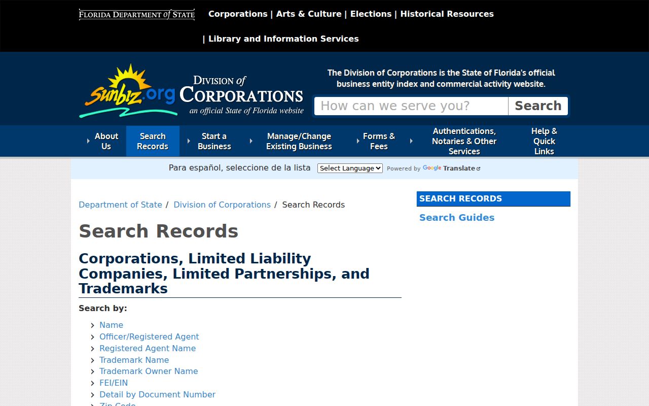
Carry the exact entity name from Sunbiz back to the deed index, then compare the mailing and situs fields on the parcel card.
Limits of a Seminole Street Directory
A public parcel roll identifies owners, not all residents. Renters, children, relatives, guests, and other household members do not form a complete public address list. Utility and delivery customer data are not a public street directory, and driver information is restricted by Florida law and the federal Driver’s Privacy Protection Act. Protected-address programs and voter exemptions can also remove a person from public data.
Official rolls change at different times. A deed may be recorded before the appraisal card refreshes, and a mailing address may belong to an absentee owner. Use at least two dated records before drawing a conclusion. A missing name is not proof that the person did not live there.
Lawful use. Seminole County address records are for lawful personal, property, family, and civic research. Never use them to stalk, harass, threaten, or harm anyone.