
Sources for Seminole County Neighbors
A block search starts with land, not a list of people. The Seminole County parcel map reveals lot boundaries and opens property cards. Those cards identify owners, mailing and situs addresses, deed references, and exemption clues. They do not identify every person who lives inside. Public voter data may add registered residents, but only through the correct request route. Permit, code, registry, association, and history sources each add a different layer.
| Source | What It Shows About a Block | Access |
|---|---|---|
| Appraisal GIS and property cards | Parcel edges, owner, situs, mailing address, sales and exemptions | Free map and cards |
| CurrentView queries | Visible parcels, buildings, or sales within the map view | Free GIS tool |
| Voter extract | Nonexempt legal residences and election participation | Lawful request, disk delivery |
| Permits and code cases | Projects and enforcement tied to an address or parcel | County tools for unincorporated areas |
| HOA geographic layer | Association boundaries and organizations, not member names | County GIS download |
| FDLE radius search | Registry entries within a chosen area | Free official map and list |
Owner occupancy is always an inference. A matching mailing and situs address plus a homestead exemption can support it, but neither proves every household member. An absentee owner may use another mailing address. A company or trust may own the parcel. Renters usually do not appear on the property card. Separate what a record states from what it merely suggests.
Map Seminole Neighbors Parcel by Parcel
The Seminole County Public Appraisal Map accepts an address, parcel, owner, or subdivision. No documented public buffer-owner tool was found, so the reliable block method is manual. Find the first parcel, zoom until the adjacent polygons are clear, click each surrounding lot, and follow its detail link. The CurrentView tools can query parcels, buildings, or sales visible on screen.
- Enter the known street address in the appraisal map and confirm the situs on the selected parcel.
- Zoom to the block, then click each adjoining parcel polygon. Record its parcel ID and owner name.
- Open each property card. Compare situs, mailing address, homestead clue, sale reference, and legal description.
- Run a CurrentView parcel or building query as a cross-check, then expand only as far as the immediate block needs.
This sequence is one address to nearby lots. A search that follows the whole named road and its deed chain belongs in the Seminole County street directory. Keeping the radius small also reduces false assumptions about people who share a mailing city but live in another municipality or unincorporated part of the county.
Note: The map refreshes on set daily cycles, so a recent recorded transfer may appear in the Clerk's index before the parcel view updates.
Seminole Voters Around a Block
The county voter lookup is an authenticated self-service form. It requires first name, last name, and date of birth. It cannot be used to browse a street or reveal all nearby voters. A match lets the voter review status, polling place, recent activity, mail-ballot information, and a personal sample ballot.
Block-level work requires a lawful voter-file request. Florida public voter data can include name, address, date of birth, party, phone, email, and elections participated in. It never reveals ballot choices. Social Security numbers, driver-license or state ID numbers, registration source, and preregistered minor data stay confidential. Safe at Home participants and other protected people can be absent or shielded.
Seminole election requests have used NextRequest since July 2025. A state monthly extract arrives by disk through mail or pickup, not by email, and may carry charges. After lawful receipt, the requester may filter the nonexempt data by street. That result reflects registered voters, not all occupants.
Seminole Neighborhood Association Geography
Seminole County GIS publishes HOA and condominium-association geography alongside parcels, lot lines, subdivisions, city limits, address points, and streets. The HOA layer was compiled from county GIS, Property Appraiser, and Sunbiz information. Its documented update cycle may be two to three years, and the county provides it as is. It can identify an organization or area. It is not a roster of neighbors.
| Community source | Best use | Important limit |
|---|---|---|
| County GIS data | HOA and COA boundaries, parcels, subdivisions, and city limits | Association data may lag by years |
| Sunbiz | Association corporation status, officers, agent, and filings | Listed roles do not prove residence |
| Local historical institutions | Maps, photos, family and community collections | Coverage varies by place and era |
No verified public countywide HOA member directory was found. Do not promise one. In unincorporated areas, traffic-enforcement agreements also require current officer contacts, a board vote, and a forty-dollar fee, but those administrative contacts are not a household directory.
Seminole Neighborhood History Records
Current parcel lines say little about how a community formed. RICHES/UCF preserves material for all seven Seminole County cities and for Chuluota, Geneva, Goldenrod, and Heathrow. Its community collections include Georgetown, Goldsboro, churches, Naval Air Station Sanford, schools, markets, baseball, cigar making, and the riverfront. Search the neighborhood or institution name, not only the mailing city.
The RICHES Seminole County collection is a successful manifest image assigned to the local-resource material used for this page.
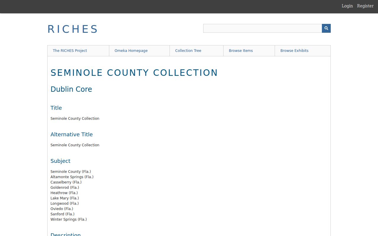
The collection helps distinguish a neighborhood identity from its current postal label. Mailing city, incorporated jurisdiction, taxing area, and older community name often differ across this multicentered county.
Seminole Records Versus Neighbor Tools
Official sources are narrow but accountable. The Property Appraiser can correct parcel data, the Supervisor of Elections controls voter files, and the Clerk maintains recorded instruments. Commercial neighbor tools compile secondary information, may keep stale addresses, and can merge people with the same name. They rarely explain whether a name came from ownership, a mailing address, a voter record, or an old directory.
| Source type | Strength | Weakness |
|---|---|---|
| Official parcel and GIS records | Current custodian, lot-specific references, correction route | Owners are not always occupants |
| Lawfully requested voter data | Declared legal residence for nonexempt voters | Excludes nonvoters and protected records |
| Commercial compiled tools | May combine many older sources | Unclear origin, stale links, and same-name errors |
When sources conflict, trust neither by reflex. Recheck dates, parcel IDs, legal descriptions, name suffixes, and the record's stated role. Ask the official custodian to correct its own record when evidence shows an error.
Seminole Neighbor Radius Records
The FDLE registry offers a name, city, county, ZIP, and address-radius search. It is a specific public-safety record, not a general list of neighbors. Use the official map and record details, confirm the address and status shown, and do not infer facts beyond the registry entry. The source can export results, but a map pin still needs careful reading.
Permits and county code cases can add property context. The permit inquiry searches projects tied to an address or parcel and is offline overnight. County code enforcement covers unincorporated Seminole County, while city properties rely on city offices. Those records concern land or a reported condition. They do not identify every household member or prove personal conduct by an occupant.
Note: County zoning layers cover unincorporated land; a parcel inside one of Seminole County's cities must be checked with that city for zoning.
Privacy for Seminole County Neighbors
Florida's open-record system does not expose every part of life on a block. Utility customer data, delivery records, motor-vehicle data, and private household lists are not a public street directory. The property roll omits most renters and household members. Voter extracts omit confidential fields and protected residents. Florida's Safe at Home program gives eligible victims of domestic violence or stalking a substitute government address and confidential mail forwarding.
The Florida Digital Bill of Rights can give people rights against qualifying large data controllers, but it does not remove a deed, parcel card, or voter record held under public law. Commercial suppression and official correction are separate tasks. Remove only the compiled listing through a vendor's privacy process, and contact the custodian when the underlying public record is wrong.
Lawful use. Research Seminole County neighbors only for lawful purposes. Florida law forbids stalking, cyberstalking, threats, harassment, and identity misuse.
A public address is not consent to watch, contact, or confront someone. Keep the search tied to a valid civic, historical, reunion, or personal-safety need, and stop where a protected record or private boundary begins.